HomeIndustries

Industry intelligence

Location intelligence shaped around the way industries work.

One spatial foundation can serve many operational realities — from design coordination and indoor navigation to real-time asset tracking and field intelligence.

Architecture and construction digital dataDesign · Build · Operate
01
Architecture, Engineering & Construction

Connect GIS, BIM and the physical project.

Digital transformation in AEC depends on teams sharing reliable design and location data. MipMap connects GIS and BIM to support planning, construction coordination and the long-term operation of indoor environments.

GIS–BIM integrationLink building models, geography and project information.
GeoBIM collaborationGive project teams a common, cloud-accessible view.
Digital twinsSupport design review, occupancy and building systems.
Design & engineeringConstruction managementIndoor mappingEnvironmental management

Indoor facility management digital twinIndoor operations
02
Facilities Management

Understand buildings as living operational systems.

MipMap combines IoT, facility management workflows and ArcGIS Indoors to make buildings easier to navigate, maintain and optimize. Real-time spatial context creates a clear common operating picture.

Operational visibilityLocate assets, resources, rooms and activities.
Space & energyImprove allocation, resource use and workplace quality.
Safety & serviceSupport emergency planning and faster response.
UniversitiesFactoriesAirportsHospitalsIndustrial parksDefense facilities
Real-time asset location intelligenceTrack · Maintain · Optimize
03
Asset Management

Place every asset in its operational context.

GIS and IoT turn asset registers into live operational intelligence. Teams gain visibility into the location, condition and use of critical equipment while reducing downtime and improving resource allocation.

Real-time trackingMonitor location, condition and utilization.
Personnel intelligenceSupport access, safety and workforce coordination.
Maintenance planningPrioritize work geographically and proactively.
BLE beaconsIoT gatewaysCondition monitoringResource optimization
Remote sensing for natural resourcesField intelligence
04
Natural Resources

Turn remote terrain into informed field decisions.

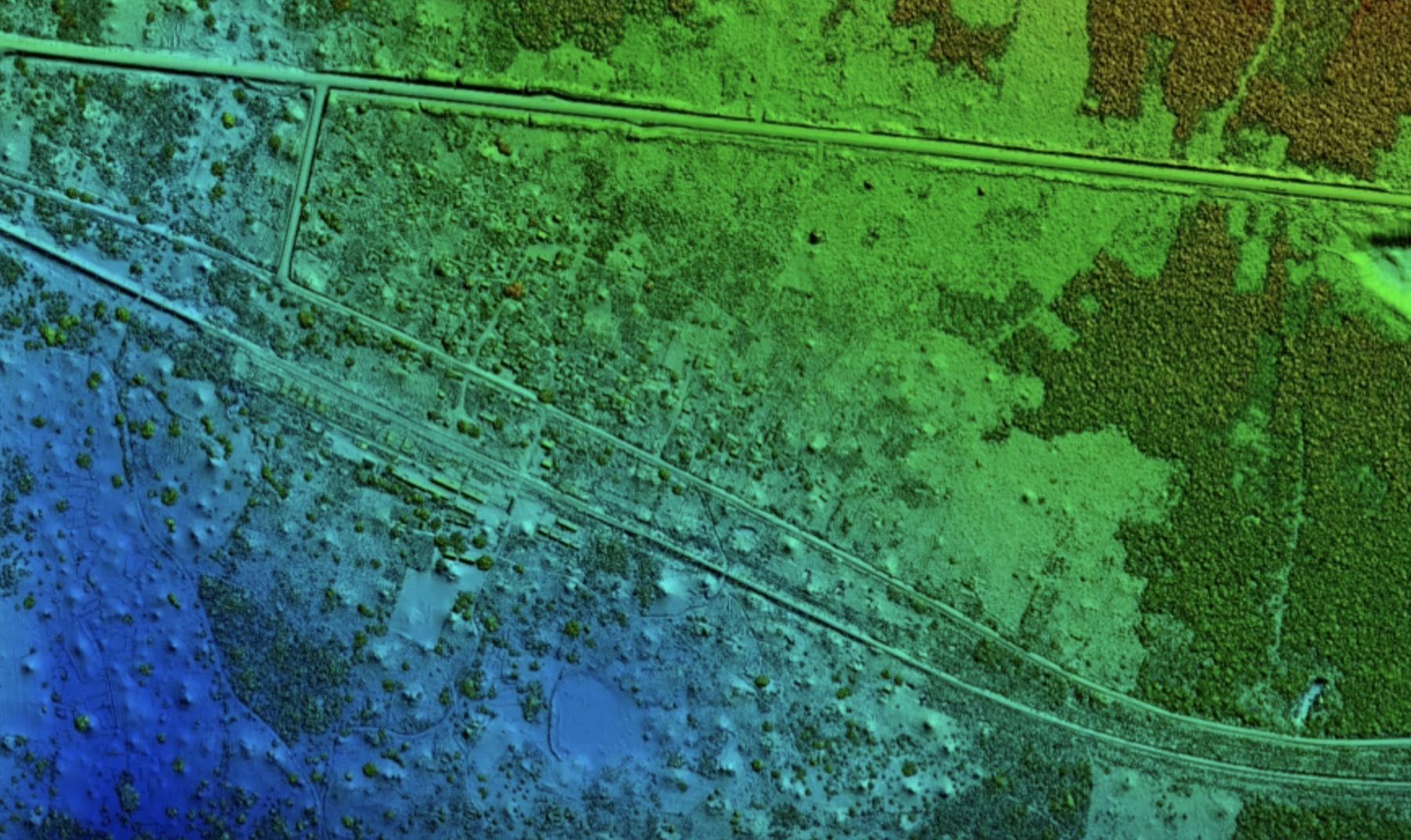
Remote sensing, drone imagery, mobile GIS and IoT sensors help teams identify potential resource areas, coordinate field activity and monitor changing conditions across large and difficult environments.

Exploration intelligenceCombine imagery and spatial analysis to target fieldwork.
Routes & logisticsOptimize movement between fields, facilities and warehouses.
Connected fieldworkManage permits, tasks, sensors and mobile data collection.
MiningPetroleumPipelinesForestryAgriculture
Built around your operation

Tell us where spatial intelligence can make the biggest difference.

Discuss your industry →