HomeServicesMulti-Scale Digital Twin

Buildings · spaces · cities

Multi-Scale Digital Twin

Connected spatial models that bring physical environments, live data and operational intelligence into one decision-ready view.

One environment, many scales

Turn the physical world into a living information system.

MipMap connects buildings, indoor spaces, urban assets and citywide systems through accurate 3D models. Static geometry becomes a continuously useful digital twin when it is linked with BIM, GIS, IoT and real-time operational data.

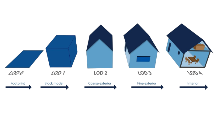
Building models progressing from LOD0 to LOD4
Geometry with purpose

3D building generation

Building models are created at the level of detail the task actually requires — from a simple footprint to an information-rich interior model. This keeps production efficient while preserving the accuracy needed for planning, analysis and operations.

LOD0Footprint
LOD1Block model
LOD2Roof form
LOD3Detailed exterior
LOD4Interior
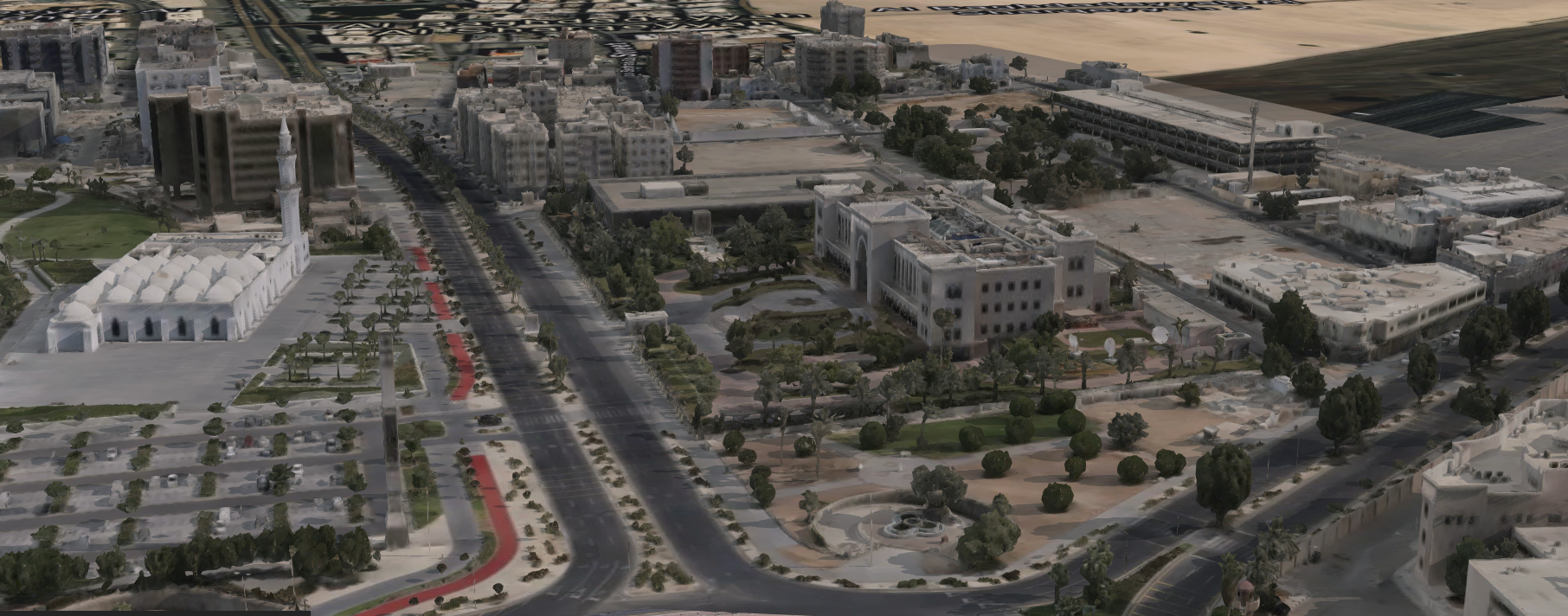
Three-dimensional city furniture and urban mapping models
Model the public realm

3D city mapping & city furniture

Terrain, buildings and urban structures are assembled as one seamless three-dimensional environment. Automated feature extraction and AI-assisted corrections speed up production without losing the consistency needed for citywide use.

  • Rapid building and rooftop modelling
  • Roadside, public-space and infrastructure assets
  • Planning, cadastral, maintenance and management workflows
  • Flexible exports for GIS, BIM and visualisation platforms
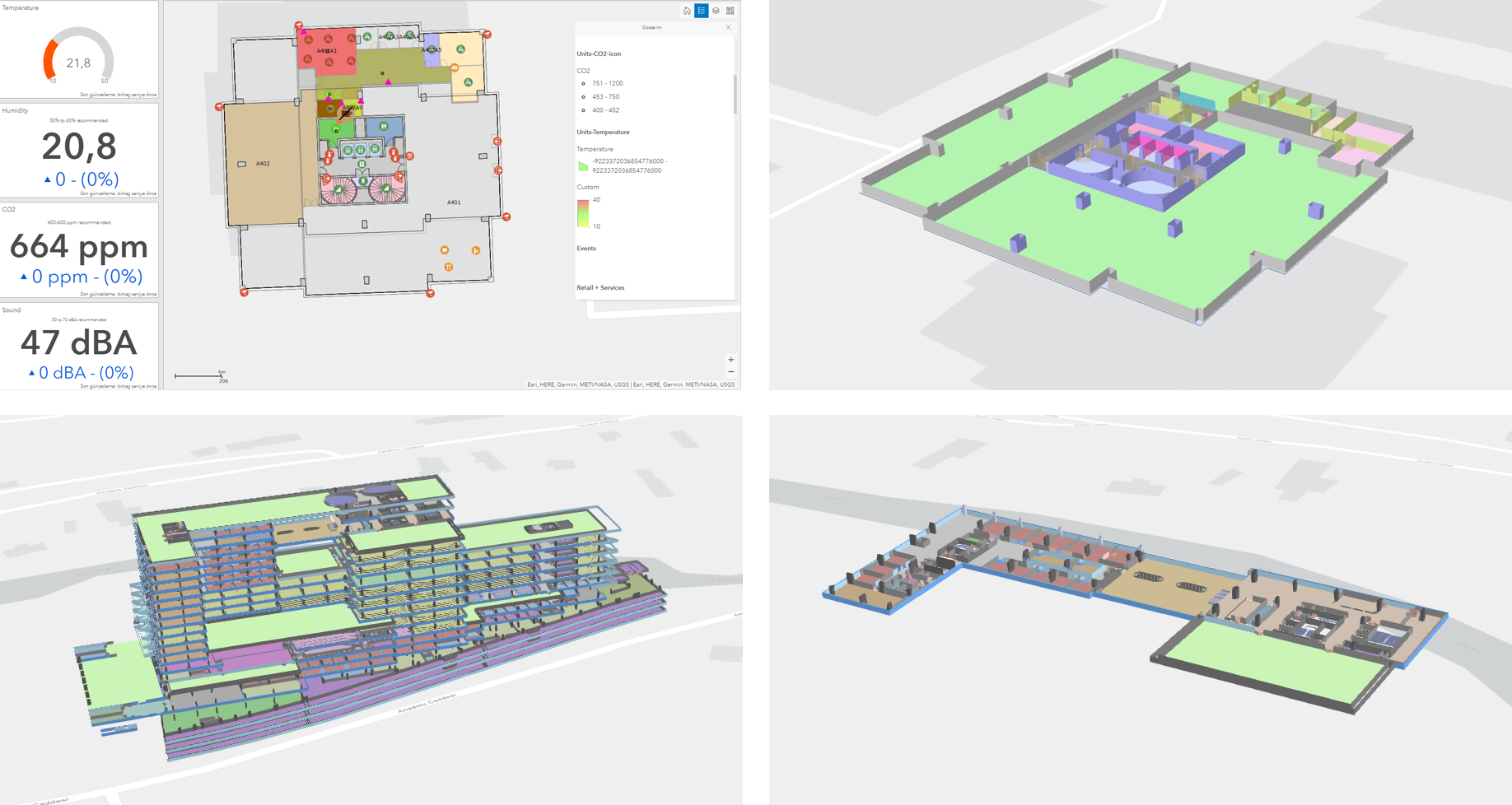
Indoor digital twin combining floor plans, sensors and 3D models
Inside the building

Indoor mapping

Accurate 2D and 3D indoor maps make complex facilities visible, searchable and easier to operate. Existing CAD, BIM and floor-plan data can be connected with live information about rooms, assets and occupancy.

Facility operationsSpace managementAsset managementEmergency responseBooking & wayfindingOccupant experience
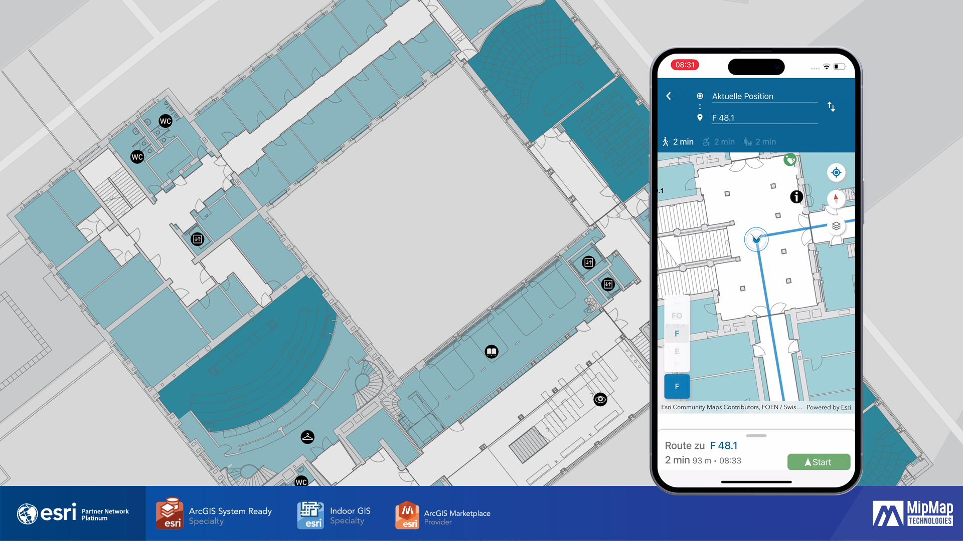
Indoor positioning and routing interface
Navigation where GPS stops

Indoor positioning systems

An indoor positioning system acts as an indoor GPS, locating people and objects in places where satellite signals are weak or unavailable. It creates a practical layer for routing, collaboration and space use.

  • Turn-by-turn indoor navigation and person finding
  • Location sharing and asset discovery
  • Meeting-room booking and desk hoteling
  • Calendar and workplace-system integration
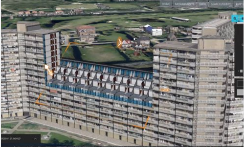
GeoBIM model integrating BIM and geographic information
From BIM to operational context

Digital twin integration & GeoBIM

A digital twin connects the physical asset with its virtual counterpart for continuous monitoring, analysis and scenario testing. BIM provides detailed building information; GeoBIM places that information in its wider geographic and infrastructure context.

Make decisions before making changes

Test alternatives, forecast impacts and coordinate assets through a shared model before applying decisions in the real environment.

Connected smart city systems and sensors
A framework for connected operations

Smart city framework development

City intelligence grows when information from transport, energy, buildings, environment and public services can be collected, analysed and shared securely. The digital twin provides a spatial foundation for IoT, BMS, AI and augmented-reality applications.

Urban planningTransportEnergyPublic safetyAir qualityDisaster & floodTourism3D land registry
Augmented reality interface connected to digital twin data
Experience the model

AR, VR & metaverse applications

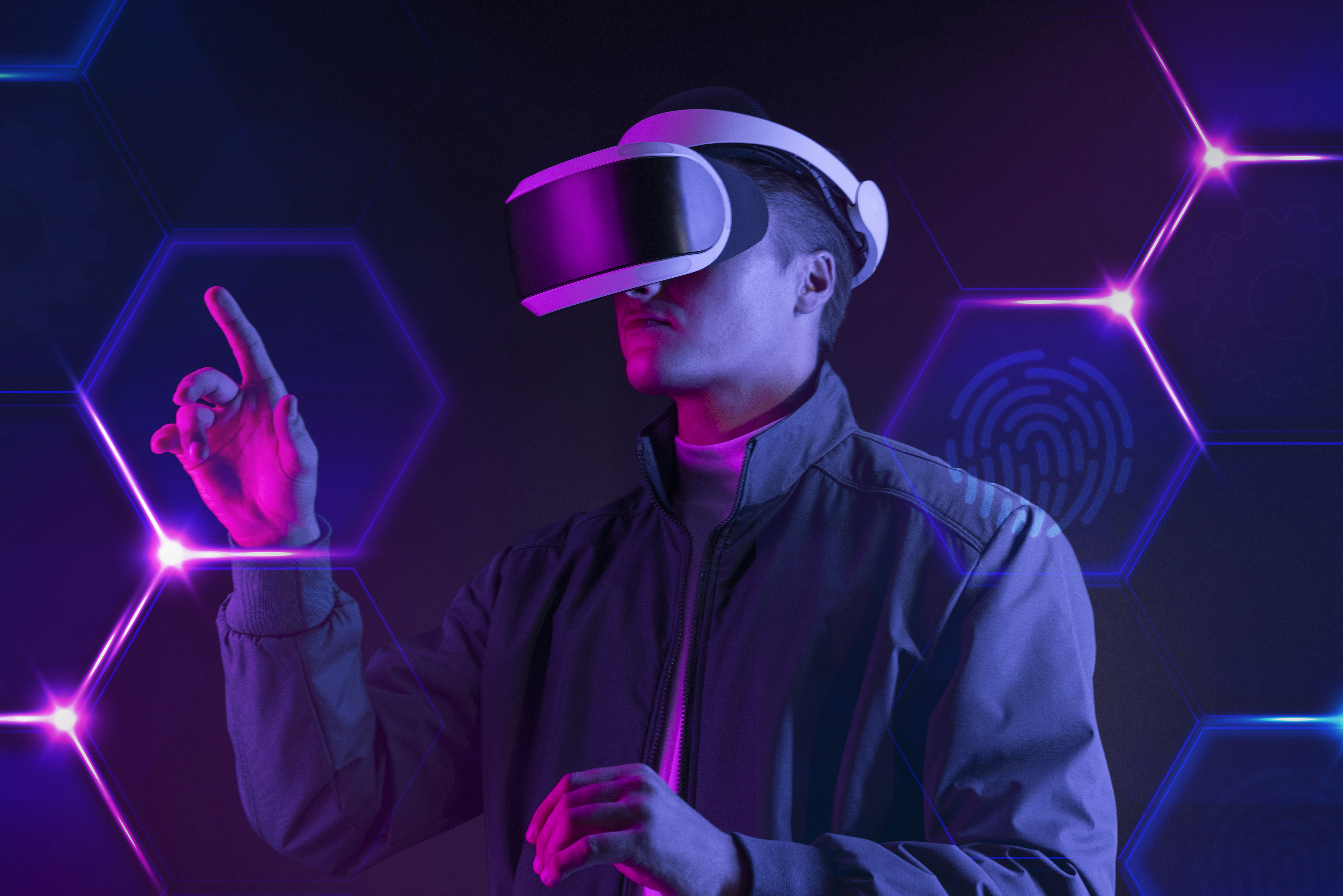
Immersive interfaces make complex spatial data easier to understand and act upon. Digital twins can support virtual inspections, training and public engagement while allowing teams to experience planned policy or infrastructure changes before they become physical.

01Physical environment
02Data & intelligence
03Twin engine & APIs
04Immersive interaction
One model. Many decisions.

Connect buildings, cities and operations in a living digital twin.

Talk to our digital twin team →