HomeServicesPhotogrammetry & Remote Sensing

Observe · measure · model

Photogrammetry & Remote Sensing

From flight planning and stereo imagery to elevation models, true orthophotos and classified point clouds — reliable spatial intelligence at every scale.

A complete production chain

Capture the world once. Use it in many ways.

MipMap brings aerial survey expertise, satellite imagery, photogrammetric processing and remote-sensing technologies into one controlled workflow. Each dataset is planned around the required accuracy, terrain and final application.

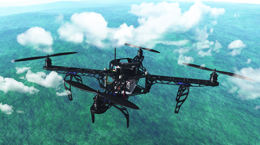
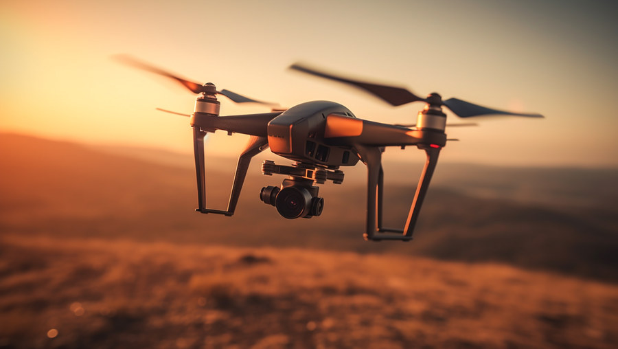
Drone used for aerial imagery acquisition
Flight to 3D data

Aerial imagery acquisition & 3D mapping

Flight planning defines the coverage, altitude, overlap and image resolution required by the final deliverables. Terrain variation is carefully considered so image quality and positional accuracy remain consistent throughout the project area.

Geometrically corrected imagery can be combined into orthomosaics and enriched with vector layers for roads, buildings, hydrology and other ground features.

01Plan coverage and ground control
02Acquire calibrated aerial imagery
03Triangulate, model and publish
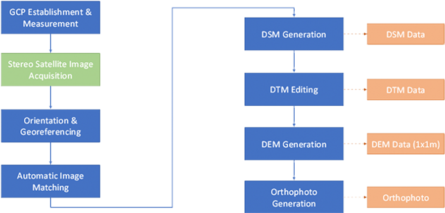
Stereo satellite image processing workflow
Wide-area intelligence

2D / 3D satellite mapping

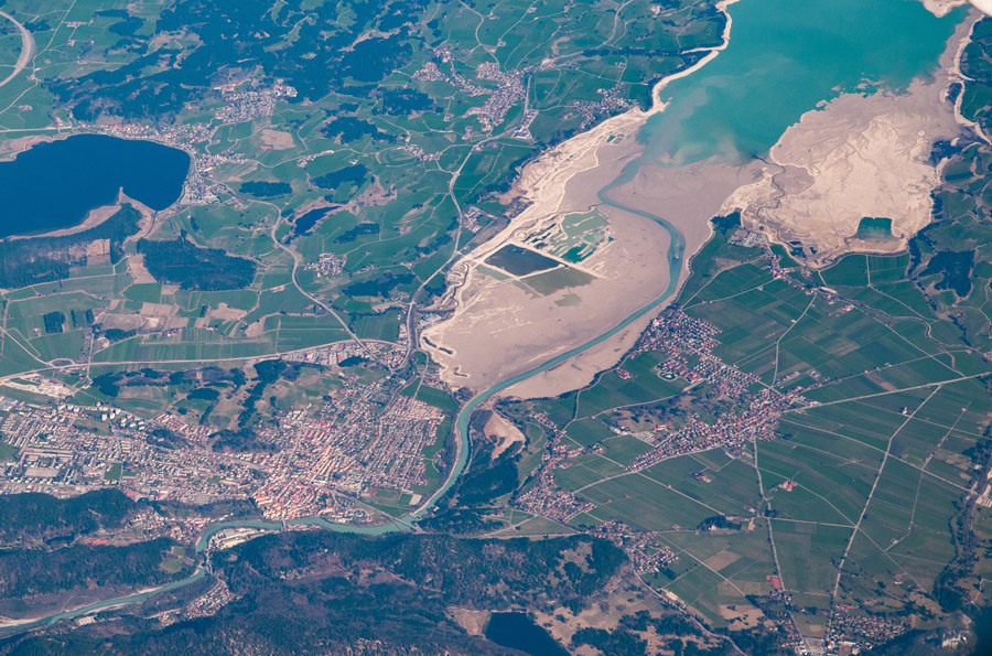
Overlapping stereo images collected along a satellite flight path are used to produce elevation data, mosaics and orthophotos across extensive areas.

For high-accuracy work, very-high-resolution imagery — including 0.31 m WorldView-3 stereo data — is combined with rigorous geometric models, ground control points and an accurate DEM.

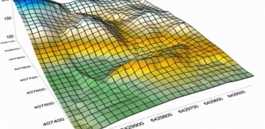
Digital elevation model surface
Understand the surface

DSM, DTM & DEM generation

Elevation models transform point clouds into usable representations of visible surfaces and bare-earth terrain. Classification, interpolation and quality controls create continuous data without gaps or unwanted obstructions.

DSMVisible surface including buildings and vegetation.
DTMFiltered ground topography and terrain.
DEMDigital elevation data prepared for analysis.
  • Classified point clouds delivered in tiled LAS format
  • Interpolation and gap-free terrain processing
  • Removal of bridges, culverts and watershed obstructions
Orthophoto created from aerial imagery
Image becomes map

Orthophoto & true orthophoto production

Orthorectification removes image distortions and creates a uniform scale, allowing aerial photographs to function as measurable maps.

True orthophotos also correct the displacement of prominent objects such as buildings. High-overlap acquisition — typically 80% along the flight direction and 60% across it — supports cleaner engineering-grade results.

Engineering-ready imagery

True ortho products provide stronger geometric integrity than conventional orthophotos in dense built environments.

Airborne LiDAR acquisition drone
Active remote sensing

LiDAR acquisition, processing & point-cloud classification

Airborne laser scanning rapidly captures large areas with high positional and elevation accuracy. Fusing LiDAR point clouds with aerial imagery creates richer and more reliable three-dimensional products.

  • Coverage, density and flight-parameter planning
  • GNSS base-station deployment and equipment calibration
  • Automated classification of terrain, roofs and vegetation
  • Quality-controlled LiDAR surveying and delivery
Mobile mapping system for road and street surveys
Map along the route

Mobile mapping measurements & feature extraction

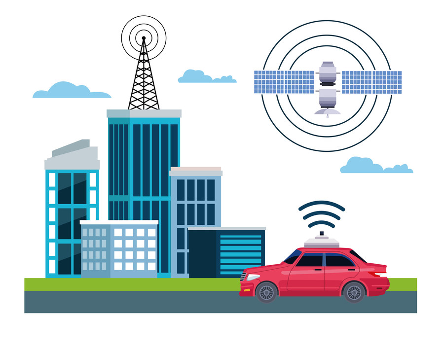
Mobile mapping systems capture panoramic imagery and point-cloud data along roads and streets, producing three-dimensional route records with ground accuracy of approximately 10 cm.

The survey records buildings, parks, bridges, tunnels, signs, signals, footpaths, trees and other visible roadside features for efficient extraction, inspection and asset documentation.

From image to intelligence

Plan the right capture and processing workflow for your project.

Talk to our remote sensing team →