Control & standardize
Source datasets were validated against data dictionaries, topology rules and international formats such as CityGML.
Home›Projects›İstanbul 3D Cadastre
Transforming an entire province from two-dimensional cadastral records into an integrated, intelligent and operational three-dimensional spatial reality.
Three-dimensional cadastre defines property and limited real rights not only through horizontal parcel boundaries, but also through height, depth and volume. Independent units, underground and above-ground facilities can therefore be represented as 3D geometries and connected with title deed, zoning and GIS data.
For the General Directorate of Land Registry and Cadastre, MipMap and Geotech Overseas created a province-wide foundation that brings the physical city, cadastral accuracy and legal reality together in one environment.
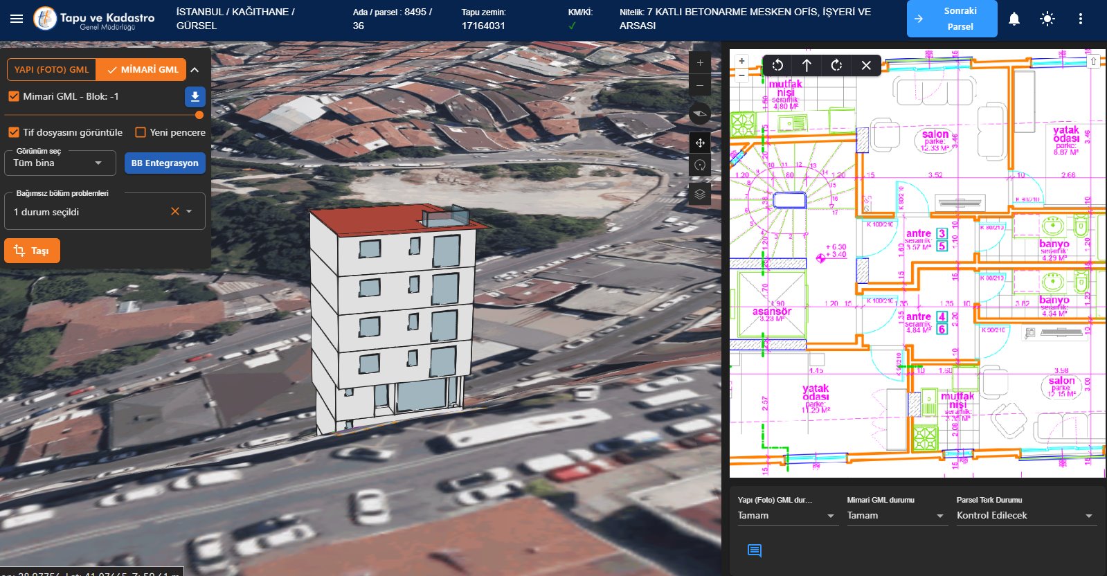
Existing records were checked against standards, corrected where necessary and transformed into interoperable datasets through purpose-built MipMap applications.
Source datasets were validated against data dictionaries, topology rules and international formats such as CityGML.
Photogrammetric mesh, object-based city models and architectural GML were produced and linked to building and parcel information.
Cadastral, title deed, zoning, ownership, independent-unit rights and use restrictions were aligned on a GIS backbone.
A 3D GIS-based Real Estate Management System made the complete inventory searchable, analyzable and operational.
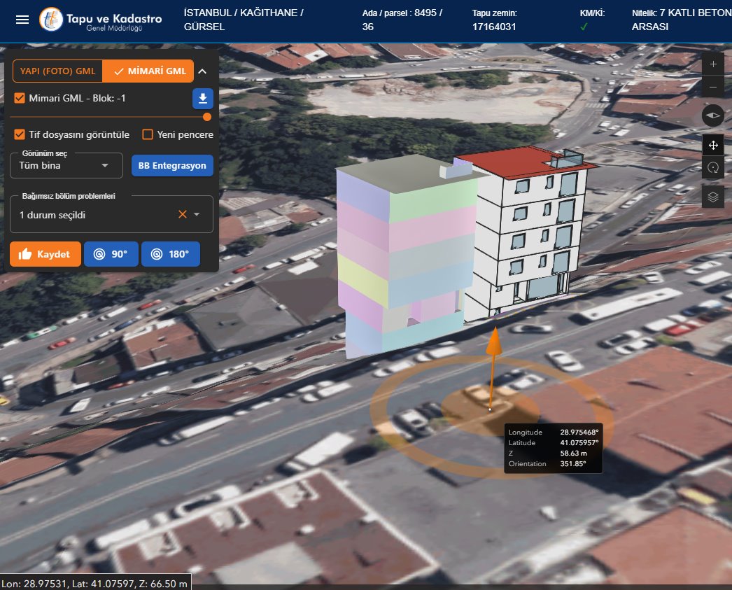
The project delivers a city-scale 3D cadastre reaching LOD4, supported by photogrammetric mesh and object-based city models. Architectural models are connected with cadastral and legal layers so floors and independent units can be analysed spatially, legally and operationally.
Physical reality, legal layers and spatial data are reconciled in one integrated structure, reducing uncertainty and conflict.
Property analysis, valuation, zoning, ownership and land management can be assessed through the same model.
A common geospatial foundation improves controlled data exchange and coordinated decision-making across institutions.
The platform establishes a foundation for future digital-twin, smart-city and AI-assisted urban applications.
This technical overview presents the current project platform. It will be replaced with the final project film when that version becomes available.
Open on YouTube ↗