
HomeProjects

Selected work

Spatial programs built for places of consequence.

Digital twins, national mapping systems and indoor GIS programs — designed around reliable data, usable platforms and measurable outcomes.

Project portfolio

One portfolio. Different scales of impact.

Explore a compact selection of projects delivered across cities, cultural landscapes, national infrastructure and complex indoor environments.

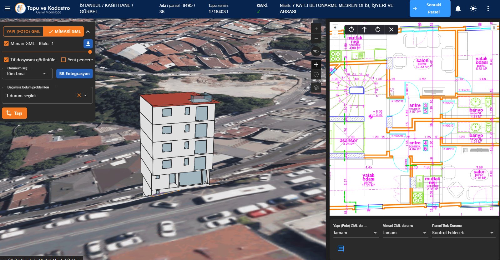
Istanbul 3D cadastre platform integrating architectural and legal building dataİstanbul · Türkiye
Flagship project · 3D cadastre2025

İstanbul 3D Cadastre & Real Estate Management System

A province-wide digital cadastre combining 3D building models, independent units, cadastral records and legal data in a single GIS-based real estate management platform.

Explore the case study →
Jeddah urban digital twinSaudi Arabia
Digital twin2019–2023

Jeddah Digital Twin

A city-scale planning information system combining subdivision plans, 1:1000 digital mapping, 3D urban models, enterprise geodatabases and a municipal geoportal.

  • 4,000+ subdivision plans
  • 3D city and terrain models
  • GIS & planning information system
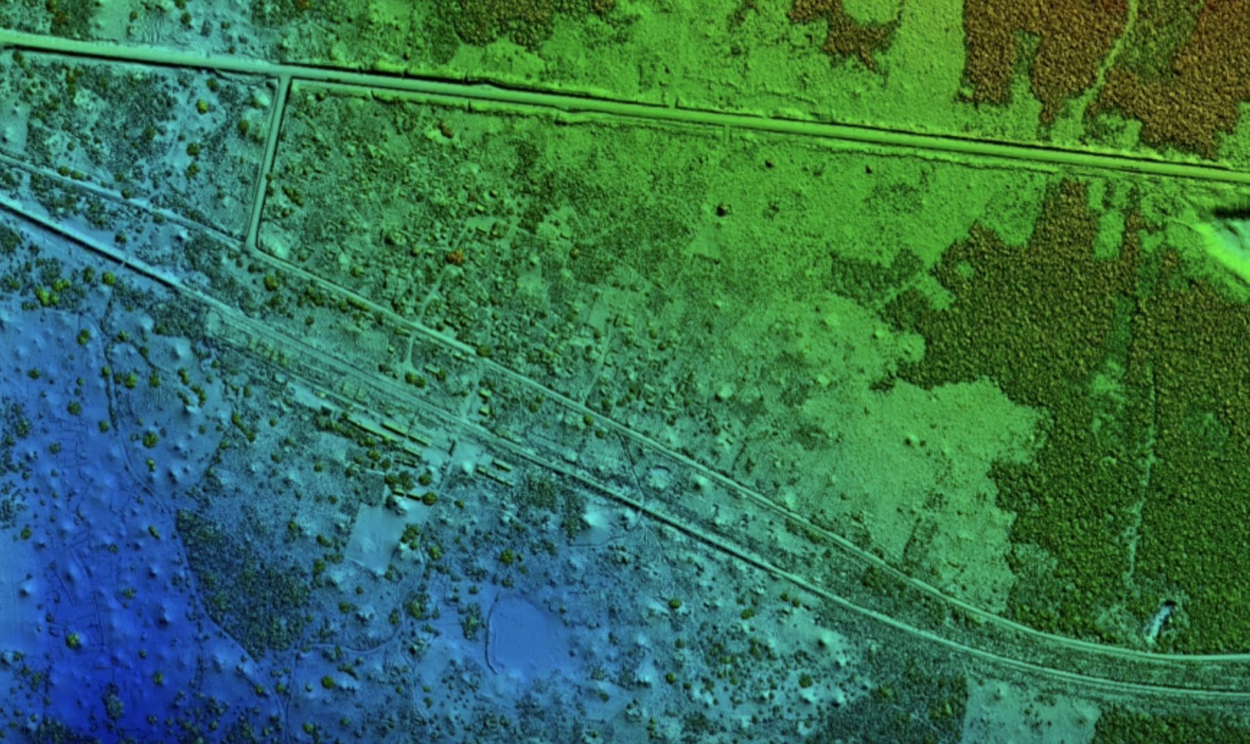
AlUla digital twin landscapeSaudi Arabia
Heritage mapping23,000 km²

AlUla Digital Twin

Historical and archaeological mapping for the Royal Commission for AlUla, integrating aerial and drone imagery, LiDAR, smart 3D data and a complete GIS platform.

  • 5 cm drone and 10 cm aerial imagery
  • Orthophoto, DEM/DSM and cadastral surveys
  • Geodatabase, GIS/LIS and geoportal
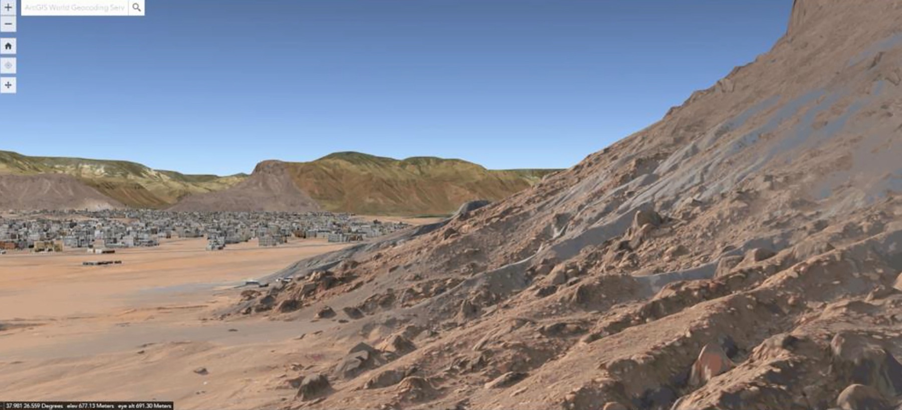
NEOM geospatial terrain modelSaudi Arabia
Geospatial infrastructure60,000 km²

NEOM Geospatial Infrastructure

A multi-scale geospatial foundation covering system design, CORS, orthophoto and cadastral mapping, land information and enterprise data access.

  • National-scale mapping workflows
  • CORS and precision positioning
  • Geodatabase, GIS/LIS and geoportal
Cadastral mapping and LiDAR acquisitionKingdom-wide
Cadastral registrationSince 2023

Cadastral Registration

A comprehensive imagery, mapping and parcel-reference program using aerial and drone acquisition, terrain modelling, field verification and topology controls.

  • 10 cm GSD image acquisition
  • DSM, DTM and orthoimage production
  • Parcel topology and integrity checks
Zurich indoor digital campusSwitzerland
ArcGIS IndoorsDigital campus

Zurich Digital Campus

CAD-to-ArcGIS Indoors data conversion and curation, including floorplans, pathways, transitions, network datasets and complete quality control.

  • 58 buildings and 413 storeys
  • 33,699 rooms
  • 304,841 m indoor network path
Global consultancy projectsGlobal portfolio
Consultancy2002–present

Other Consultancy Projects

More than two decades of mapping, GIS, utility, transport and national spatial infrastructure programs across the Middle East, Africa and Türkiye.

Rail corridorsUtility surveysNational CORSOrthophotoPlanning GISGeoportals
Demos & videos

See spatial intelligence in motion.

Interactive 3D environments and field-to-platform workflows communicate more clearly when they can be explored. Open selected live experiences or visit the video library.

Visit the video library →
Start a conversation

Planning a spatial program at city, regional or national scale?

Talk to our team →